Nepal, officially the Federal Democratic Republic of Nepal, is a landlocked sovereign state located in South Asia. With an area of 147,181 square kilometres (56,827 sq mi) and a population of approximately 27 million (and 2 million absentee workers living abroad),[7] Nepal is the world's 93rd largest country by land mass[8] and the 41st most populous country. It is located in the Himalayas and bordered to the north by the People's Republic of China, and to the south, east, and west by the Republic of India. Specifically, the Indian states of Uttarakhand, Uttar Pradesh, Bihar, West Bengal, and Sikkim border Nepal, while across the Himalayas lies the Tibetan Autonomous Region. Kathmandu is the nation's capital and largest metropolis.
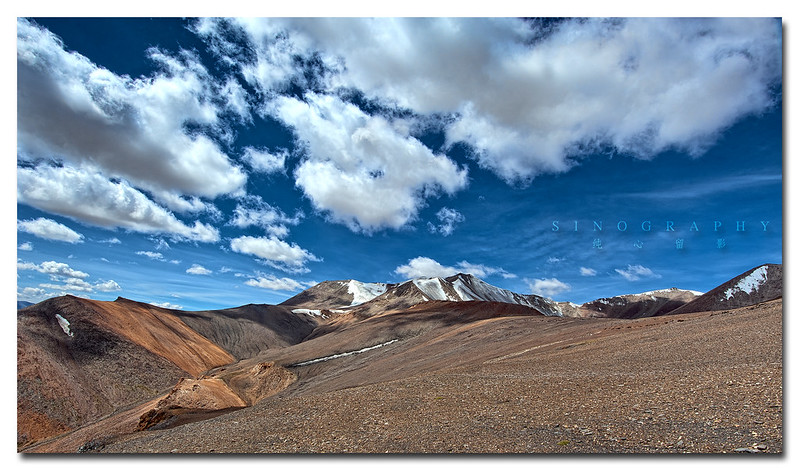
Nepal has a rich geography. The mountainous north has eight of the world's ten tallest mountains, including the highest point on Earth, Mount Everest, called Sagarmatha in Nepali. It contains more than 240 peaks over 20,000 ft (6,096 m) above sea level.[9] The fertile and humid south is heavily urbanized.
Hinduism is practised by about 81% of Nepalese - making it the country with the highest percentage of Hindu followers.[10] Buddhism, though a minority faith in the country, is linked historically with Nepal.
A monarchy throughout most of its history, Nepal was ruled by the Shah dynasty of kings from 1768, when Prithvi Narayan Shah unified its many small kingdoms. However, a decade-long Civil War by the Communist Party of Nepal (Maoist) and several weeks of mass protests by all major political parties led to the 12 point agreement of 22 November 2005. The ensuing elections for the constituent assembly on 28 May 2008 overwhelmingly favored the abdication of the Nepali monarch Gyanendra Shah and the establishment of a federal multiparty representative democratic republic.