Railway


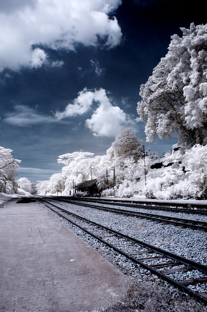
I went to this rail way station
5025870934_d9fd6ac23a_z.jpg


Map

2l88zh4.jpg


Hope it help's

Thanks. But would you mind tell me what are the public transport?
 

Hey guys! I think my conclusion location will be Sunset way railway. Can anyone guide me how to go there by public transport?
 

Thanks dude, I tried but the website giving me error msg.

because we don't know your address, we can't just plonk down any bus number.

u can also try the SBS Transit website or SMRT website. they do have journey planners too.
 

kei1309, actually I decide to go there from clementi mrt station. :)

ah ok. from clementi..

you can take 52, 154, 151. all these services will go past sunset way, and if you wanna head to King Albert Park for the Bt Timah tracks, it's also via these 3 services.
 

Thanks bro! Btw, the latest pic I just upload is also located near to sunset way or bukit timah railway?
 

Thanks bro! Btw, the latest pic I just upload is also located near to sunset way or bukit timah railway?

should be sunset way. because the track passes under the road. part of the BT Timah tracks are above the road, while i think further up, they go under the expressway
 

Just to confirm one more thing. Is this located near sunset way or bukit timah railway?

DSC-0216.jpg


DSC-0213.jpg

This is definitely NOT sunset way.If it is Sunset way,the tracks will look disused and grass would have grown on the tracks itself.It looks like Buona Vista to me...
 

Last edited:
Yeah, I've asked and it's buona vista but it seem that background have alot of tall building.
 

This is definitely NOT sunset way.If it is Sunset way,the tracks will look disused and grass would have grown on the tracks itself.It looks like Buona Vista to me...

thanks for the clarification ;)

Superman are bad examples for kids. They jump off buildings with capes...

i'm more than a bird...more than a plane...more than some pretty face, beside a train....
 

follow the railway wont be wrong. =D at most walk 10km or more only haha.
 

I need a confirmation of the sunset way railway. Is it at the blue or the red?

Neither, the Sunset Way tracks are unused, and so are not marked as black/white railway tracks on Streetdirectory.com. This line you see is the active track.

The earlier photos you posted seem to be at Buona Vista, as some posters and this have suggested, and this photo seems to confirm it:
http://www.panoramio.com/photo/29439889

Get off at Buona Vista station and walk. If you come from the East, you will actually pass over the rail tracks just before the station.


For the Sunset Way track, search for Clementi St 14 at streetdirectory.com. Switch to Satellite view and you'll see the bridge above the road, and a the lower left, the even larger bridge across Sungei Ulu Pandan. As mentioned earlier, most of this track is overgrown with grass, and at least one bridge (the one at the end of the park connector, parallel to the AYE) is closed.

Google Earth has some pix of the bridge above the canal:

http://www.panoramio.com/photo/21642189

Also http://www.virtualtourist.com/trave...hings_To_Do-Kampong_Sungai_Pandan-TG-C-1.html
(scroll down to "Bridge Across Sunset Way"

These are the old girder bridges, nothing like the samples you posted.
 

Last edited:
Thanks. I did a search on google map, street view as well. Can't really find any train tracks from the street view. I saw it. Is it very near to Clementi St 14? If were to walk from Blk 109, how long is the journey?
 

Last edited:
The walk from block 109 to st 14 will only take 5 mins. You will be able to see the bridge at the end of the street. Hope you bring back good pictures for all your effort.

If you like good ice cream, there is a specialist shop in the Clementi Arcade. It is the building next to the bridge, same side of the river as street 14.

Lastly, watch your step while on the bridge. It is best to go with another person in case you fall as there is not likely to be anyone else around.
 

Last edited: